Google has recently introduced updates for Google Maps and Google Earth to enhance the user experience and provide deeper insights into the world’s evolving landscapes.
Street View Expansion
Street View has now been extended to nearly 80 countries, including new regions such as Bosnia, Namibia, Liechtenstein, and Paraguay.
Additionally, areas like Australia, Argentina, Brazil, Costa Rica, and the Philippines have seen improvements in coverage.
Google’s latest camera technology, launched in 2022, makes this expansion possible. These new cameras, which can be mounted on almost any vehicle, enable 360-degree image capture in remote and previously inaccessible locations.
Historical Imagery on Google Earth
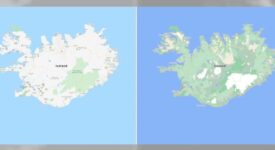
A new “historical imagery” feature has been added to the web version of Google Earth, allowing users to explore satellite and aerial imagery spanning the past 80 years
This feature offers a visual timeline showcasing how cities and landscapes have changed. In some locations, such as London, Berlin, and Paris, imagery dates back to the 1930s.
Users can now create or browse timelapse videos to observe these changes in urban and rural environments.
AI-Powered Enhancements
Google has also integrated AI-driven updates into both Maps and Earth. Its Cloud Score Plus AI technology, which is trained on millions of images, can now detect and remove clouds, haze, and fog while preserving weather-related elements like snow, ice, and mountain shadows.
This results in clearer, sharper global imagery, giving users a more vibrant and accurate view of Earth.
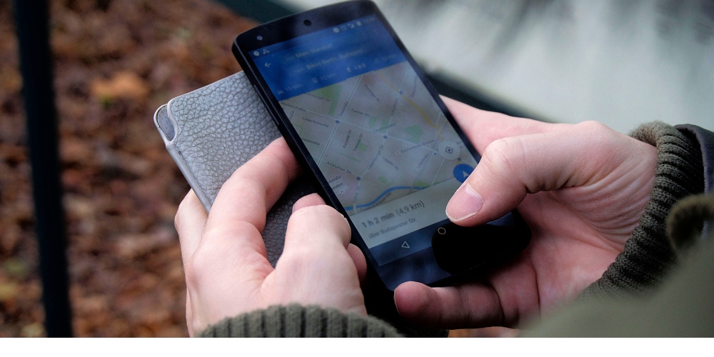
In addition to these updates, Google has introduced other recent improvements, such as a redesigned user interface for Android with a sheet-based layout that gives users more control over the information displayed.
Features like wildfire alerts, powered by satellite data and AI models, help users stay informed about natural disasters, enhancing safety during emergencies.
Overall, these updates make Google Maps and Earth more immersive, informative, and user-friendly, allowing users to explore the world with greater clarity and depth.